 One of the weaknesses of making long range forecasts is you get to anguish over storms for a l-o-n-g time. Take tonight’s little doozie. This system has been well modeled by the computers for more than a week–since it was well out in the Pacific.
With each succeeding run it seemed more likely Connecticut would have some impact. The question was how much impact and from what? Would it be snowy or just rainy and raw? This part of the equation seemed beyond the computer’s expertise.
That’s not to say the models didn’t venture guesses. It’s just the guesses changed each time the programs were run! Though some of the prior results are seeded into the next run’s initialization, there’s little memory these machines maintain from forecast-to-forecast.
Now it looks like the rain/snow line was so hard to get at because it will be moving over us. The storm will be snow then rain. But when the turnover?
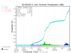
There will be plenty of quality number time today. My love of math will be tested with charts and graphs and maps. It’s a geek’s paradise.
I’ve got a horse in the race this time. Helaine’s due back in Connecticut late tomorrow night. I am in charge of transport.
Predicting the weather’s impact on airlines is rough. Most likely she will make it to Connecticut without problem, but face some snowy roads on our way home.
Spring is almost here and I can’t wait. I really can’t!